Idaho’s Salmon River is 425 miles of untamed, undammed and mostly undeveloped water ribboning through public land in the heart of the Gem State. It has to be considered mostly, instead of totally, undeveloped because there are a few tiny, rural posts roughing out a rugged recreation and ranch existence along its banks in Riggins, North Fork, Salmon, Challis and Stanley.
Leave any of those dots on the map and you leave civilization. The transition is instant and intense, so ready yourself for remote in a place of infinite perks. Perks like towns turning into trees and pave turning into dirt. Perks like underwater waves replacing overhead wires and oars replacing wheels. Perks like white noise becoming whitewater. The kind of whitewater that doesn’t show mercy so if you don’t know how to row, make sure you’re on a raft with someone who does and always wear a lifejacket.
More perks like wildlife outnumbering people. Your house floats. The shower is a waterfall. The pools are free of salt and chlorine. You eat on the beach every day. At night, your best source of light is the stars. That’s the kind of adventurous lifestyle you gain when you give up the daily grind for the water world that is the Salmon River.
Dozens of rivers contribute to the Salmon’s flow, including its two primary arteries the Middle Fork and the Main. Both offer rapids in steep canyons scarred by some mining and a lot of burning. Both are fishing grounds for native tribes including the Agaidika, which when translated means salmon eaters.
Both are classified as Wild and Scenic Rivers. Both require a U.S. Forest Service-issued permit year-round and a more controlled, lottery-issued permit during peak rafting season. That lottery limits how many people are on the water daily, offering you the potential to see no one. Even better, both are in The Frank Church River of No Return Wilderness.
The Frank was designated in 1980 through the Wilderness Act. It’s a significant national natural resource conservation law that turns 50 this year. In honor of that Act, the largest contiguous wilderness in the Lower 48 and the wildest water in the West, here’s what you need to know about The Middle and The Main when you decide to live “on raft.”
Middle Fork of the Salmon River Main Salmon River
Miles:
104 82
Put in:
Boundary Creek near Stanley Cache Bar near North Fork
Take Out:
Corn Creek near North Fork Carey Creek near Riggins
Rapid class:
III and IV III and IV
Waterfalls:
yes no
Hot springs:
yes yes
Other traffic:
bush planes jet boats
Hazards:
more technical more wave trains
Highlights:
more pictographs more beaches
Permit:
required year-round required year-round
Launch limit:
7 parties per day 8 parties per day
Party limit:
21-24 people for 6 days 21-30 people for 6 days
Lottery Season:
May-September June-September
Lottery odds:*
1 in 58 1 in 60
To put in for a private party rafting permit in the annual lottery draw by U.S. Forest Service for the Middle Fork and the Main, visit recreation.gov.
*Source: U.S. Forest Service 2023 permit statistics.
Home Water
April 2022
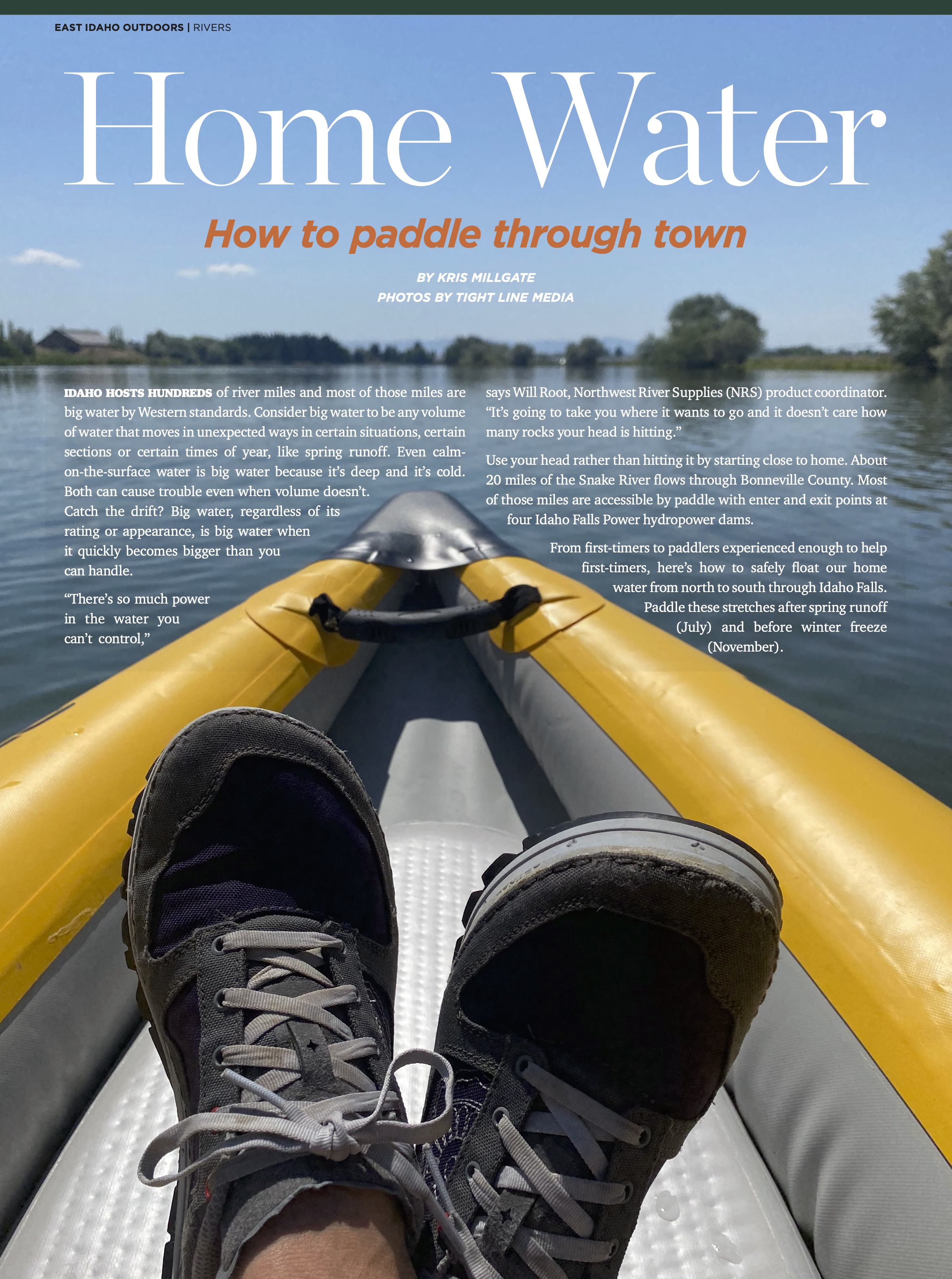
I started working on this story during the COVID-19 pandemic. It was the perfect assignment at the time because it was close to home and I worked on it alone or with my husband and our two boys. I learned to paddle an inflatable kayak, and rescue myself when I flipped it. I saw every mile of my home water, the Snake River running through Bonneville County. I also documented every hazard and highlight along the route. It’s my favorite 10-year Rivers feature because it turned into a map distributed by Idaho Falls Power to help other paddlers.
-Kris Millgate, Editor
East Idaho Outdoors