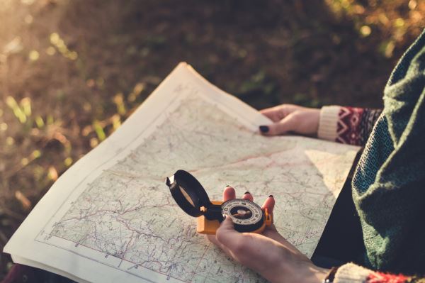
There was a time before Google Maps when people used to have to find their way from Point A to Point B using a map that did not scroll on a video screen but was printed on actual paper, just like the old pirate maps. These maps were full of information, but totally incapable of helping you to find out where you really were.
There was no “you are here” function. The best you could do was to stop at a gas station and hope that they knew where they were located on the map. Sometimes they did, but sometimes they didn’t, especially if you were in Jefferson County.
When I was an undergraduate my minor was the mystic art called cartography. I say art, not science since I soon learned that maps were often not true representations of reality. Every map is an interpretation or a projection of the creator’s take on reality.
Take for example the images you see online today that some tourists might assume are true maps that show Idaho Falls just a hair north of Salt Lake and right next to Yellowstone National Park. From a galactic perspective, they are extremely accurate, but when faced with a carload of screaming kids, they are woefully not to scale.
If you head north out of Idaho Falls, by the time you hit the Lorenzo Bridge, you realize that Yellowstone is still two hours away! Immediately you are more than willing to sell a kidney just so you can afford Bear World and show the kiddies what Yellowstone used to be like when bears were allowed to panhandle.
When I was a kid and we used to go on family vacations, my father, a former air force navigator, used to put little numbered stickers on the road map to show where we should be each hour of our trip. He also scanned travel brochures and used a highlighter to indicate potential areas of interest along our route.
Today, Google Maps gives you a running commentary on road conditions and offers alternate routes when it magically knows of delays ahead. Imagine what Lewis & Clark’s Voyage of Discovery would have been like if Google Maps had told them from the start that there was no actual Northwest Passage in the direction they were heading.
A few years ago my aunt contacted me asking if I could send her an up-to-date road map of Idaho. She said the map she had must have been really old and outdated, because she was planning a visit and it didn’t show any roads in the center of Idaho. I told her that her map was actually correct. The center of Idaho really doesn’t have any paved roads. It is home to the Frank Church and Gospel Hump Wilderness Areas, the largest unroaded area in the Lower 48.
I also used to get a chuckle when I would work travel shows in Salt Lake and people would come to the booth looking for the latest Idaho Road Map. They would say that they had a map that was a few years old and they wanted to get a highway map with all the new roads on it. I would just smile and give them the latest map, that if anything, had fewer roads on it than previous maps.
So now when we hit the road we don’t need to worry about those pesky paper road maps that take a Ph.D. in origami to fold up. All we need to do is pull up Google Maps and let it tell us how to get to where we want to go. The fun part is, that while it may know where to go, no one bothered to tell Google how locals pronounce places like Dubois, Picabo, and Lava!
Click here to read more of Idaho Falls Magazine's May issue.